Hiking Trails on Maui
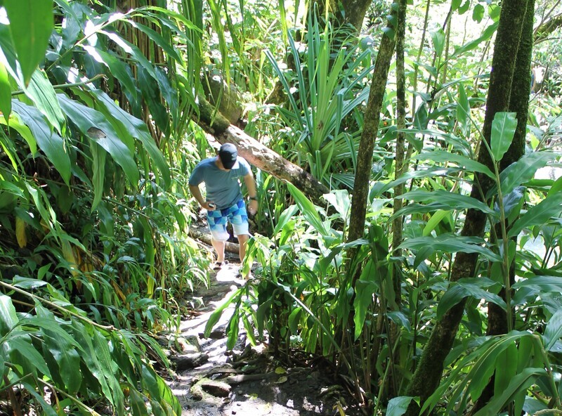
When hiking on Maui (or any of the Hawaiian islands), always let someone know you are going, take plenty of water, a fully charged cell phone, wear sturdy shoes, and go early in the day to avoid the hotter afternoons.
West Maui Hikes:
Central Valley & Upcountry Hikes
East Maui & Road to Hana Hikes:
South Maui Hikes:
Haleakala Summit Hikes:
A quick note about hiking in Haleakala National Park. Please stay on the trails; the landscape is fragile and even just footprints will damage it. There are endangered species of plants and animals that could be killed if you step on them. It is also against park law to step off of the trails and it could result in fines. Please respect the land.
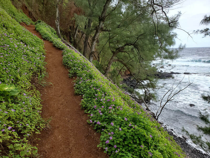
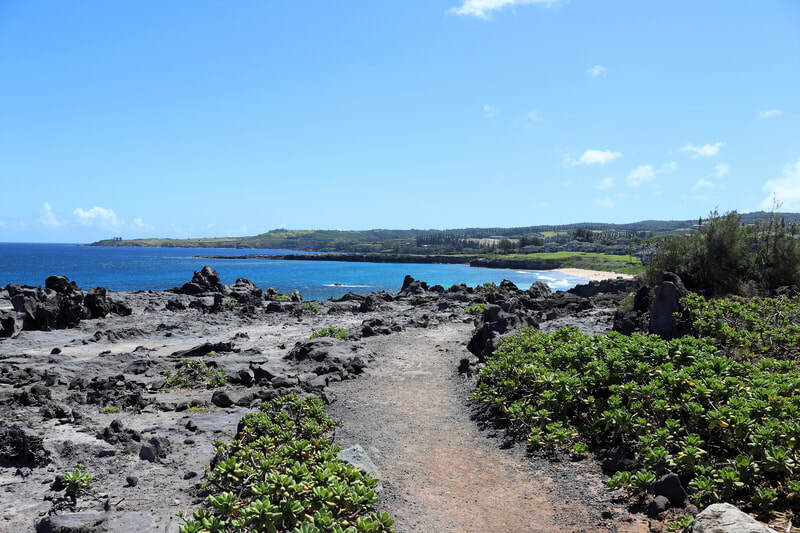
- Kapalua Coastal Trail - A 1.75 mile one way (3.5 miles round trip) trail with little change in elevation. This is a favorite trail on Maui for scenic views along the coastline. You can start at Kapalua Beach or at DT Fleming Beach and walk in either direction; I prefer to start in Kapalua as the first 2/3rds of the trail is the most interesting. After that a paved path takes you across the golf course and Ritz Carlton resort, this is where we usually turn around and head back to Kapalua Bay for some swimming. Paved paths part of the way turn into a dirt & rock pack then into a boardwalk above Oneloa Beach. There is so much to see along this trail including crashing waves on the volcanic rocks and cliffs, turtles swimming in the waters below, the beaches, and more. There is very little shade on this trail so start early and bring lots of water. Flip flops not recommended. To get here: park near Kapalua Bay, opposite the Ironwood gates at Oneloa Bay, or at DT Fleming Beach Park.
- Ohai Trail - A 1.2 mile loop trail with 200' elevation gain. The trail splits, you can take either direction as it loops around. Great scenic views and popular with hikers, joggers, and a pet friendly trail (leashes and picking up after your pets is required). Lush, low plant growth, and an easy trail with some benches to enjoy the views from. There is a short 300' paved side trail that takes you to an overlook where you can spot whales during whale season. To get here: follow Hwy 30 North out of West Maui, the trailhead can be found between mile markers 40 & 41. Small parking for about 5-6 cars on the North side of the road. No facilities. Bring plenty of water and sturdy shoes.
- Nakalele Blowhole - 1 mile round trip. Take a steep, rugged, dirt trail over some large rocks down the blowhole by the oceans edge. Continuous waves push water through the hole, sometimes up to 50' in the air. Stay away from the blowhole itself and the cliffs edge - waves can come up unexpectedly pulling you into the blowhole or into the ocean. Bring plenty of water and wear sturdy shoes as the dirt trail can be slippery, flip flops are not recommended! At the beginning of the trail is a older sign warning of the danger of the trail. This used to be where the Heart Rock was located, but sadly the waves eroded it in late 2019 and broke it in half. To get here: take Hwy 30 North out of West Maui, there are two parking lots around mile markers 38 & 39. No facilities.
Central Valley & Upcountry Hikes
- 'Iao Valley State Monument – .5 mile to just under 2 miles. Paved walkways, steps, very green and lush, it can rain most days, easy parking, uphill path to observation deck, down to short nature loop, there are some smaller trails that follow the creek. Photograph one of Maui's most popular formations, the historic 'Iao Needle. Stick to the paved trails otherwise you will be trespassing on private property. To get here: At the intersection of Hwy 30 and Hwy 32 in Central Maui, take Main St to Iao Valley Rd. $5 parking fee, park open from 7am - 6pm daily.
- Waihee Ridge Trail - 2.5 miles one way - steep 2000'+ elevation climb. A nice hike with really great views of a lush rain forest valley, the ocean, waterfalls, and Haleakala. A great trail for bird watchers where you will see several types of birds found nowhere else. Well maintained trail with some benches and a picnic table. Where good hiking shoes and take lots of water. To get here: take Kahekili Hwy aka Hwy 340 to mile marker #6.9, look for the Mendes Ranch and the parking is across the road. Continue up the road about 9/10 mile to another parking lot.
- Waihou Spring Trail aka Olinda Forest - 1 to 2.4 miles with two different loops. Great for hiking, walking, and taking your leashed pet, this trail is an easy loop through pine forests including cypress, eucalyptus, and koa trees. The top trail ends on a ridge with a lookout offering views of the Central Valley. The lower loop trail descends down to Waihou Spring, a steep & possibly slippery trail to small lava tubes and a waterfall; you should only hike this portion if you are experienced. To get here: Take Haleakala Hwy, aka 37, up the mountain and turn left at the Makawao Ave light. Turn right at Olinda Rd and drive 4.8 miles up the windy residential road, parking area is on the right after the bird recovery centers.
- Lahaina Pali Trail, up to 10 miles one way with a 1600' elevation gain. This is a rugged, strenuous, and challenging hike with stunning views of the Central Valley and nearby islands. You can take this trail from either the East or West side. Either way the trail winds up steep rocky hills to the Kealalolao Ridge - a feature you can easily spot from much of Maui because this where the gigantic white wind turbines for the Kaheawa wind farm are found. Regular strong winds, can spot Nene on the trail, take lots of water and sunscreen. Hiking shoes or boots, no flip flops and don't recommend tennis shoes. No shade, take more water than you think you will need. To get here: From Kihei or Central Maui you can find the Ukumehame trailhead about three miles after of the Maalaea harbor; you can park along the highway or drive up a short rough road to a dirt parking lot. Or, from Lahaina heading towards Central Maui, there's a little unmarked parking lot on the left side of the road before the tunnel about .5 mile after the Papalaua Wayside Park.
East Maui & Road to Hana Hikes:
- Twin Falls - 1.5 mile round trip to the main falls. This is a well maintained trail that starts slightly uphill, take the left fork, cross a small stream, walk along a ditch wall and you will be at Twin Falls. You can continue if you climb up the rock wall to the right and follow the path and you will end up at a rarely populated set of falls that have some safe opportunities for rock jumping (always check the depth of any pool you want to jump in). Please remember local families live around here and who maintain the trails. Take any trash out with you and respect the land. To get here: Take the Hana Hwy, aka Hwy 360, and you will find the parking lot on the mountain side of the road. Look for the farm stand with smoothies at the beginning of the trail and port a potties.
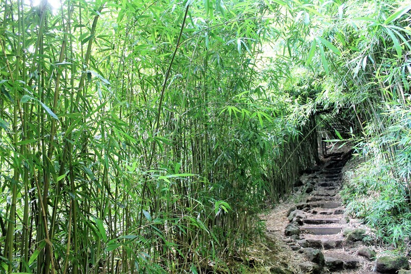
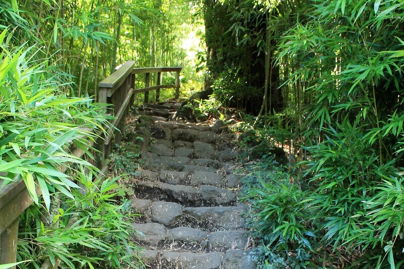
- Pipiwai Trail to Waimoku Falls - 1.8 miles one way with a 650' elevation gain. This trail is through a bamboo forest, past a banyan tree with great views of pools along the way, and ends at 400' tall Waimoku Falls. While you can stand under the falls, keep in mind that rocks and boulders have been known to fall frequently in the area. Pay attention to 'Do Not Enter' signs along the trail, and stay away from steep edges. A beautiful hike! It's best to wear good sturdy shoes and take lots of water. Plan on 2-3 hours round trip. To get here: take the Road to Hana aka Hwy 360 to Kipahulu at the lower entrance to Haleakala National Park
South Maui Hikes:
- La Perouse Hoapili Trail aka King'g Hwy - 5.5 miles round trip - Once a walking path reserved for Hawaiian royalty, this trail takes you through lava fields. Be well prepared with good, sturdy walking shoes, plenty of water and some snacks. Get and early start as there is no shade and it gets really hot along the trail. The trail starts by following the shore from La Perouse Bay and weaves south along the coast traversing jagged lava. After 7/10 mile the trail climbs for about 10 minutes, then reaches a junction - veer left. There will be a sign asking you to respect the historic sites. Please don't litter, make sure to take any trash back to the car with you. There is a short spur to an old lighthouse, and a 20 minute spur trail that takes you to Keawanaku Beach - a great turning around point. Because of the heat you can encounter on the trail, young children and the elderly should not participate. To get here: take Makena Alanui Rd past Wailea and Makena Beaches, the road narrows and will dead end at the La Perouse parking lot. If you see a ranger in the parking lot you may want to say hi and ask about the trail.
- Wailea Beach Path - 3 miles one way, mostly level. This is more of a walking / jogging path than a hike, but definitely worth your time! Starting at either Ulua Beach or Polo Beach, this paved path takes you past several beautiful beaches, resorts, and views of the surrounding islands. To get here: park at either the Ulua Beach parking lot directly off Wailea Alanui Dr or the Polo Beach parking lot off Wailea Alanui Dr & Kaukahi St in Wailea
Haleakala Summit Hikes:
A quick note about hiking in Haleakala National Park. Please stay on the trails; the landscape is fragile and even just footprints will damage it. There are endangered species of plants and animals that could be killed if you step on them. It is also against park law to step off of the trails and it could result in fines. Please respect the land.
- Hosmer Grove Trail - 1/2 mile easy loop trail. This short hike is through the remains of an experimental forestry project from the 1920's. There are still about 20 species of introduced trees along the trail as well as Hawaiian honeycreeper birds that cannot be found anywhere else in the world. You can get some great views of Haleakala on a clear day and you will find a connection to the Supply Trail. To get here: this trail is found just inside Haleakala National Park (you will need a National Park pass) near the 10.5 mile marker on Hwy 378 just after entering the park. Look for the road on the left and drive down to the parking lot. If the parking is full you can drive to the Supply Trail parking lot.
- Supply Trail: 4+ miles round trip, approx. 1000' elevation gain. Easy switchbacks take you over rock gulleys with some short steep sections and rock ledges. There are beautiful views of Maui and the summit of Haleakala rises in front of you. As the trail ends, take the Halemau'u Trail for 1/4 mile to see amazing views of the crater. Wear good sturdy shoes and take plenty of water and some snacks. To get here: enter Haleakala Park to go to the summit, drive just under a 1/4 mile and take the road to Hosmer Grove Campground. The parking lot is about halfway up the road on the right side of the road. Start out over the grass to find the trailhead.
- Pa Kaoao Trail: .5 mile round trip. This trail begins just outside of the visitor center and takes you to the top of a small cinder cone offering you views of the volcano.
- Halemauu Trail: 2500' elevation up or down depending on where you start from. This hike has two options: an all-day 11.2 mile hike best started at the summit and heading down to the trailhead. The trail begins at the visitor center and ends at the valley floor. Or you can choose to do a 2.2 mile loop hike to the edge of the crater rim and back. It's best to stop at the park entry booth or the visitor center and get a hiking map for more details. If you see Nene birds along the trail please don't feed them and give them a respectful distance as they are endangered.
- Keoneheehee Trail aka Sliding Sands Trail: a strenuous trail descending 2800' in the first 4 miles to the valley floor. For a half-day yet still strenuous hike, you can take the first 2.5 miles to the cinder cone and back for a total of 5 miles and 1400' in elevation change. This trial starts at the Haleakala Visitor Center parking lot near the bulletin board. For more information on trail options it's best to stop at the park entry booth or the visitor center and obtain a map or talk to a ranger.
